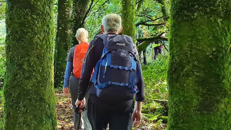
Taking eight days to complete, the East Clare Way weaves through this region’s wildest stretches as well as its many lively villages.
The trail’s terrain is mainly quiet tarmac roads, forest track, bog roads, open ground and field paths. About 53% of the route follows local roads.
Starting in Killaloe, this idyllic loop crosses the Slieve Bernagh Mountains before descending to the Clare lakelands around Tulla and Feakle.
Circling Lough Graney, the route then climbs again over the rugged boglands of the Slieve Aughty Mountains back towards majestic Lough Derg. The aggregate ascent over the whole trail is about 3,000m, there are a few short, steep sections but no significant climbs.
The trail returns through the lush hills towards Scarriff and on to its end point back in Killaloe.
The friendly towns and villages across the loop’s nine trailheads offer plenty of inviting accommodation and dining options.
Trail details
- Type:
- Long Distance Waymarked Way
- Location:
- Lough Derg Blueway
- Grade:
- Moderate
- Format:
- Loop
- Length:
- 168.80km
- Ascent:
- 3060m
- Dogs allowed:
- No
- For the more casual walker, there are many well-signposted local loops of varying lengths centred on each of the towns and villages along this charming route.
- Some of the birdlife you may spot include the rare hen harrier and the merlin.
