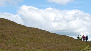
Starting in Graiguenamanagh, nestled on the banks of the River Barrow, this five-hour loop covers country roads, forest tracks and heathered hillsides.
Traversing minor roads as you leave the town, the route soon merges with forest roadway and track as it winds into Gorlough Wood. Following a few kilometres of enveloping forest, the loop ascends along more forestry track as it zig-zags and skirts around Ballinvarry Hill. Green roadway then leads you up Brandon Hill, with a 500m climb taking you to more lush forestry, pleasant open hillside and soon the summit itself.
Standing at the top of 515 metre-high Brandon Hill, embrace the 360 degree panoramas of captivating County Kilkenny and even the coastlines of the South East.
A strenuous loop, there are steep descents on the return as the paths zig-zag downhill.
Back in Graiguenamanagh you’ll find plenty of places to rest weary legs and fill hungry bellies.
Trail details
- Type:
- Walking Trail
- Location:
- Brandon Hill Trails
- Grade:
- Strenuous
- Format:
- Loop
- Length:
- 15.70km
- Ascent:
- 600m
- Brandon Hill is the highest point in County Kilkenny. Standing 515m, on a clear day you can see right down to Hook Lighthouse, County Wexford.
